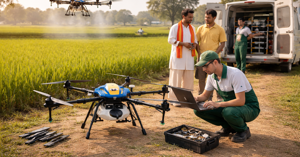
India’s construction and mining sectors are at the heart of its economic growth, contributing significantly to infrastructure development and resource extraction. With ambitious projects like Smart Cities, Bharatmala Pariyojana, and a booming mining industry, the need for precision, efficiency, and safety has never been greater. Enter drone mapping—a revolutionary technology transforming how these industries operate. By leveraging drones equipped with advanced sensors, India can achieve unparalleled accuracy, cost savings, and safety in construction and mining operations.
What is Drone Mapping?
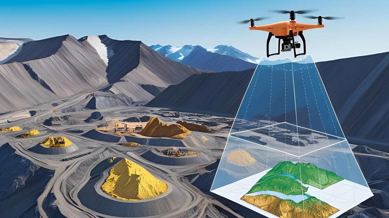
Drone mapping involves using Unmanned Aerial Vehicles (UAVs) equipped with high-resolution cameras, LiDAR, or other sensors to capture aerial imagery and data. This data is processed using photogrammetry or mapping software like Pix4D, DroneDeploy, or Agisoft Metashape to create detailed 2D orthomosaic maps, 3D models, Digital Elevation Models (DEMs), and Digital Terrain Models (DTMs). These outputs provide actionable insights for planning, monitoring, and managing construction and mining projects.
In India, companies like Skylark Drones and ideaForge are pioneering drone mapping solutions, enabling industries to replace slow, risky, and costly traditional surveying methods with faster, safer, and more accurate alternatives.
Why Drone Mapping is a Game Changer
1. Enhanced Precision and Accuracy
- Drones capture high-resolution imagery and topographic data, generating maps with centimeter-level accuracy. For instance, the DJI Matrice 350 RTK, widely used in India, supports precise 3D spatial data for mine design and construction site planning.
- In construction, drone-generated orthomosaics allow engineers to measure distances, volumes, and elevations accurately, reducing errors in site grading or foundation work.
- In mining, drones like the WingtraOne create detailed 3D models of open-pit mines, enabling precise stockpile volume calculations and blast planning.
2. Time and Cost Efficiency
- Traditional surveying methods, reliant on ground-based teams or manned aircraft, are time-intensive and expensive. Drones cover large areas in hours, not days, slashing labor and equipment costs. For example, a single drone flight can map 200 km² for a mining project, as demonstrated by MWH Geo-Surveys using WingtraOne in Finland.
- In India, construction firms using drones for projects like the Delhi-Mumbai Expressway have reported up to 50% faster data collection, enabling timely decision-making.
- Mining companies save on operational costs by using drones to monitor haul roads and stockpiles, reducing the need for manual inspections.
3. Improved Safety
- Construction and mining sites are inherently hazardous. Drones eliminate the need for surveyors to access dangerous areas like unstable mine slopes, high walls, or active construction zones.
- In India’s coal mines, such as those in Jharkhand, drones equipped with gas detectors monitor Acid Mine Drainage (AMD), ensuring worker safety and environmental compliance.
- For construction, drones inspect hard-to-reach structures like bridges or high-rise buildings, reducing risks for workers.
4. Real-Time Monitoring and Progress Tracking
- Drones enable frequent flyovers, providing real-time updates on project progress. In construction, overlaying drone maps with as-built plans helps identify discrepancies early, avoiding costly rework. For example, Brasfield & Gorrie used drone-generated 3D models to confirm earthwork activities at a hospital site.
- In mining, drones track stockpile changes and monitor water/sediment flow, aiding in operational efficiency and regulatory compliance.
- Indian firms like L&T Construction use drone mapping to monitor large-scale projects, ensuring timelines are met.
5. Environmental and Regulatory Compliance
- Drones support sustainable practices by monitoring environmental factors like water quality and sediment flow in mining operations.
- In India, where environmental regulations are stringent, drones help mining companies comply with Environmental, Social, and Governance (ESG) standards by providing accurate data for audits and restoration plans.
- Construction projects benefit from drones assessing drainage points and vegetation, ensuring eco-friendly site planning.
Indian Success Stories
- Tata Steel, Jharkhand: Tata Steel employs drones for mapping open-pit mines, optimizing stockpile management and reducing survey time by 60%. The data helps plan efficient haul roads and monitor slope stability.
- NHAI, Bharatmala Projects: The National Highways Authority of India (NHAI) uses drone mapping for topographic surveys, enabling faster planning for highway alignments and reducing project delays.
- Skylark Drones, Bengaluru: This startup has mapped over 10,000 km² for construction and mining clients, providing 3D models for urban planning and quarry management. Their work with UltraTech Cement streamlined inventory tracking.
Challenges and Solutions for Adoption in India
Despite its potential, drone mapping faces hurdles in India:
- Regulatory Compliance: The Drone Rules 2021 require certifications and airspace approvals. Solution: Partner with DGCA-certified operators like DroneAcharya Aerial Innovations to ensure compliance.
- Skill Gaps: Operating drones and processing data require expertise. Solution: Invest in training programs offered by institutions like IIT Kanpur or online platforms like SWAYAM.
- Initial Costs: High-end drones and software can be expensive. Solution: Opt for cost-effective models like the DJI Mavic 3E or lease equipment from providers like Garuda Aerospace.
The Way Forward
To fully harness drone mapping, India’s construction and mining sectors must act strategically:
- Government Support: Expand schemes like the Production-Linked Incentive (PLI) to subsidize drone procurement and training for small and medium enterprises.
- Industry Collaboration: Partner with tech firms and startups to develop customized mapping solutions. For instance, NITI Aayog’s Drone Shakti initiative can foster innovation hubs for drone tech.
- Skill Development: Integrate drone mapping into engineering and mining curricula at institutions like ISM Dhanbad to build a skilled workforce.
- Women in Drone Mapping: Encourage women’s participation through initiatives like the Inclusive Skies Initiative, offering scholarships and mentorship for women in drone tech roles.
Conclusion
Drone mapping is no longer a futuristic concept—it’s a game changer driving India’s construction and mining industries toward efficiency, safety, and sustainability. From mapping the rugged terrains of Rajasthan’s quarries to monitoring Mumbai’s skyscraper projects, drones are reshaping how we build and extract. As India aims to become a global leader in infrastructure and mining, embracing drone mapping is not just an option—it’s a necessity.
Call to Action: Are you in construction or mining? Explore drone mapping solutions with local providers like Skylark Drones or ideaForge. Join the revolution and make your projects smarter, safer, and more efficient!


