Vaimanika Aerospace: Comprehensive Drone Solutions
At Vaimanika Aerospace, we are dedicated to harnessing the power of drone technology to provide innovative solutions that redefine industry standards.
Our Drone Solutions

Safeguarding nations and communities with advanced unmanned aerial systems for critical operations.
- Surveillance and Reconnaissance: High-resolution imaging for monitoring and intelligence gathering.
- Border Security: Real-time tracking of unauthorized activities across borders.
- Search and Rescue: Deploy drones for rapid response in emergencies and disaster zones.
- Counter-Drone Systems: Detect and neutralize unauthorized UAVs to protect sensitive areas.
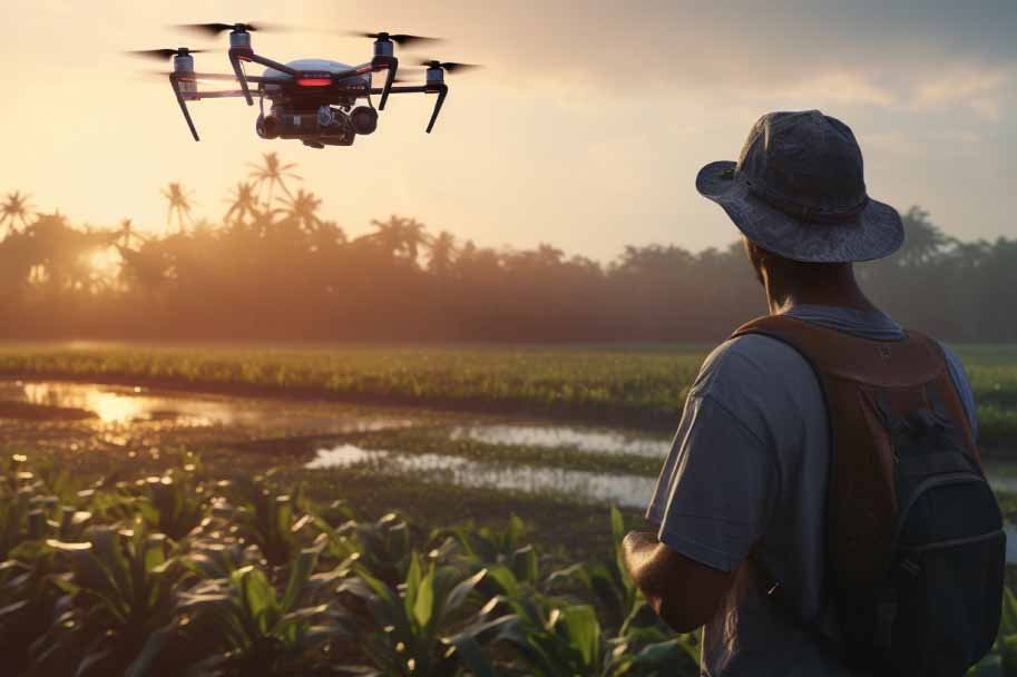
Revolutionizing agriculture with drones that ensure precision and efficiency.
- Crop Monitoring: Multispectral imaging to detect health issues and nutrient deficiencies.
- Precision Spraying: Automated pesticide and fertilizer application, reducing waste and costs.
- Field Mapping: Analyze soil health and terrain for optimized planting strategies.
- Livestock Surveillance: Track and monitor large herds remotely.
Elevating the construction and maintenance process with drones tailored for accuracy and efficiency.
- Site Surveys: 3D mapping and terrain analysis for project planning.
- Structural Inspections: High-definition imagery to assess and monitor infrastructure integrity.
- Progress Tracking: Real-time updates on construction milestones and performance.
- Utility Monitoring: Inspection of power lines, pipelines, and other critical utilities.
Optimizing transportation with aerial solutions that reduce delivery times and costs.
- Parcel Delivery: Autonomous drones for swift and secure package transportation.
- Medical Supplies: Emergency transport of vaccines, blood samples, and medicines.
- Warehouse Management: Inventory checks using aerial systems.
- Remote Access: Deliveries to hard-to-reach areas, improving connectivity.
Empowering sustainability efforts with drones designed to protect the planet.
- Wildlife Tracking: Monitor animal populations and study migration patterns.
- Deforestation Mapping: Assess forest health and combat illegal logging.
- Disaster Response: Evaluate flood zones, forest fires, and other natural disasters.
- Climate Research: Collect data on atmospheric and environmental changes.
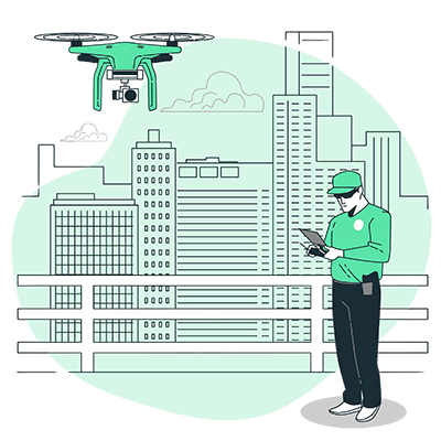
Supporting smarter, more connected urban environments through aerial innovations.
- Traffic Management: Real-time monitoring and analysis of traffic patterns.
- Public Safety: Surveillance and emergency response in urban areas.
- City Planning: Mapping and analysis for sustainable urban development.
- Aerial Inspections: Assess building conditions and identify structural vulnerabilities.
Why Choose Vaimanika Aerospace Solutions?
Unparalleled Technology
Customized Solutions
Reliability and Performance
End-to-End Support
Our Approach
At Vaimanika Aerospace, we prioritize a customer-centric approach to drone solutions. From consultation and customization to deployment and support, we are committed to ensuring your goals are achieved efficiently and effectively.

Explore the Possibilities with Us
Vaimanika Aerospace is your partner in innovation, offering drone solutions that unlock new potential and drive progress. Whether you're securing borders, monitoring crops, or shaping urban landscapes, our drones deliver unparalleled results.
