An era in which climate events, natural disasters, and sudden emergencies intensify and become more frequent, time becomes of the essence. Speed, accuracy, and coordination in disaster response can save lives and reduce damage. That is where drones can step in with a powerful, game-changing entry to emergency response and disaster management.
Having the ability to access dangerous or inaccessible areas, collect real-time data, and aid in coordination efforts, drones are now an indispensable tool for rescue agencies, governments, and global humanitarian relief groups.
Real-Time Situation Assessment During Crisis
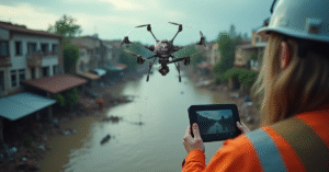
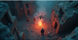
Situational awareness is arguably the most important use of drones in disaster response. In the event of an earthquake, flood, landslide, or fire, within minutes, drones can be sent to provide aerial views of the affected areas.
They help identify damage, identify closed roads, and identify where aid is most needed. Drones are unique compared to manned helicopters as they are able to go lower, penetrate small openings, and record high-quality images and videos without risking human life.
Search and Rescue Operations
During the confusion after a disaster, survivor locations must be found first. Thermal camera-drones can read body heat signatures, day or night, or even under rubble. They read large swaths of ground quickly and efficiently, assisting teams in locating survivors and planning access routes safely.
During floods, drones can identify individuals stranded on rooftops or in remote locations that are difficult for ground personnel to reach. Every second saved equates to an increased chance of survival.
Supplying Emergency Relief
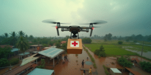
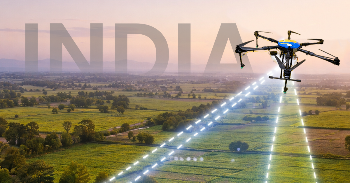
Where bridges have been broken, landslides occurred, or floodwaters inundated, drones can deliver desperately needed goods like medicines, food, water for drinking, and first-aid kits. There are already medical drones flying around the globe to transport antivenoms, vaccines, and even defibrillators.
These lightweight drones have the capacity to carry payloads through difficult terrain in minutes that would take a rescue team hours to drive. For injured victims stranded in remote areas, this support is literally a question of life and death.
Tracking Active Hazards
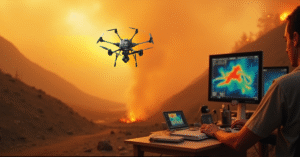
After the initial disaster, monitoring the hazard area is as crucial. Drones help monitor growing numbers of rising water levels, shifting soils, growing wild fires, or collapsing infrastructure at risk of a further collapse.
This data facilitates officials issuing early warnings, evacuating hazardous areas, and adopting preventive actions to avert secondary disasters. With the help of drones based on multispectral or LIDAR technology, officials can even predict landslide-risk zones or ruptured sections of dams based on changes in topography.
Facilitating Coordination and Communication
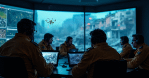
Rescue operations in mass disasters usually involve many agencies- NDRF personnel, local police, medical teams, and NGOs. Drones provide an equal bird’s eye view to all agencies and help them coordinate movement, manage resources, and overlap each other’s efforts.
Live video from drone cameras can be streamed to command centers, facilitating real-time decision-making and more effective disaster control.
Post-Disaster Mapping and Documentation
Once the dust settles, there is a need for accurate documentation to use for insurance claims, relief planning, and rebuilding. Drones capture high-definition images and make 2D and 3D models of the affected regions, which are far more precise than satellite images and much faster to obtain.
These models help to determine levels of damage, plan for reconstruction, and track progress of recovery with the elapse of time.
From Disaster to Recovery: The Drone Advantage
Drone technology is revolutionizing the way the world responds to emergencies. With their velocity, flexibility, and precision, they deliver the kind of help that was not conceivable a decade ago. From preliminary damage assessments to locating survivors, delivering essential goods, and rebuilding, drones are utilized from the first wave of emergency to the final stage of recovery.
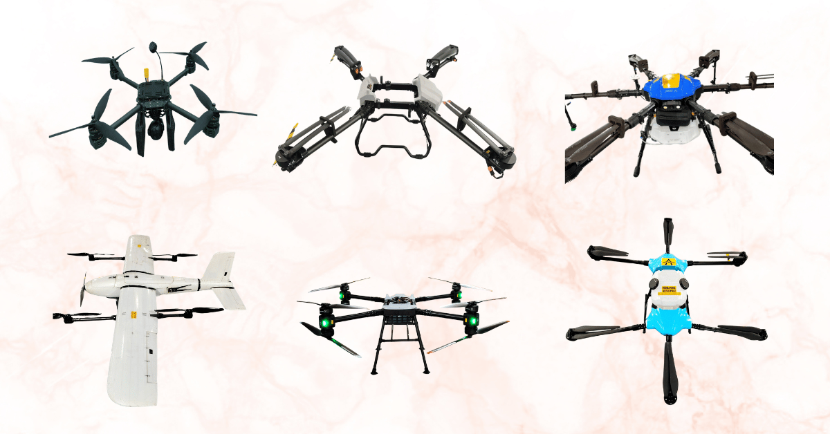
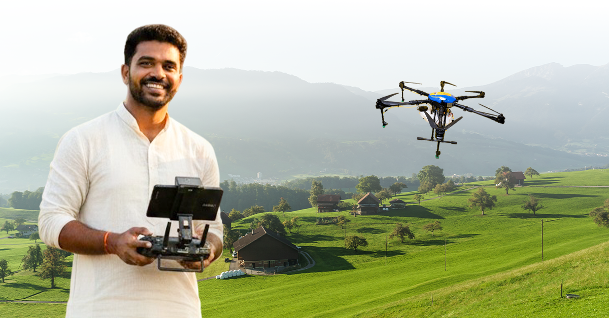
Vaimanika Aerospace: Smarter, Safer Disaster Response
We, at Vaimanika Aerospace, are leaders in advanced drone technology for real-world implementation. Our drones are designed to operate in hostile conditions, transport essential payloads, and deliver timely data to empower rescue units. From disaster management, infrastructure inspection, to agricultural support, our UAV solutions are tailored to make an impact.